Migration Cartography
Team Name:
maphawks
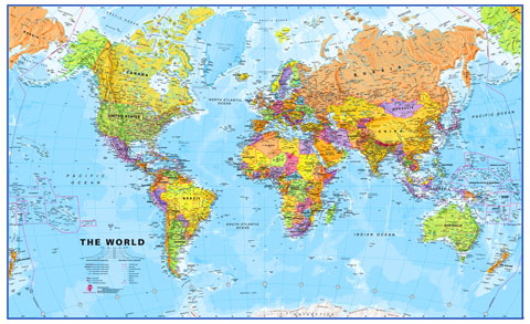
Mapping foreign-born residents of australia to their country of origin based on the four census year of 1996, 2001, 2006 and 2011.
Made use of open source javascript library D3 and DataMaps. The sourcecodes of this project are also open sourced to be used for future projects.
We wanted to show how multicultural and connected Australia to the World is. Great use of the visualization will hopefully assist the lawmakers and general public to realize just how diverse their state and country is. It also shows the increase of popularity of NSW and VIC to asian immigrants in the recent censuses.
Future development includes
- the appliance of different machine learning visualization. One possible machine learning paradigm can be applied is k-means clustering on the immigrant data.
- applying other dataset to the map e.g. import/export, foreign investment, tourism, etc
- more granular data to each suburbs (instead of just state)
Demo/Homepage URL:
Video URL:
Proof of Concept Repository URL - Code Repository, source material or stages of development records:
Datasets Used:
census data from http://govhack.abs.gov.au
1. Overseas migration to Australia
2. Country of birth per state
Local Event Location:
Prizes: